About Us
We are a team of passionate engineers focusing on geospatial information technology. Combining the best geospatial products with our services, we design tools and solutions for simplicity and wide-range usability, dedicated to creating shared values.
We provide geospatial services, consulting & advisory to clients throughout the country. Our geospatial experts are ready for specific deployment, right where you need us.
Our Services


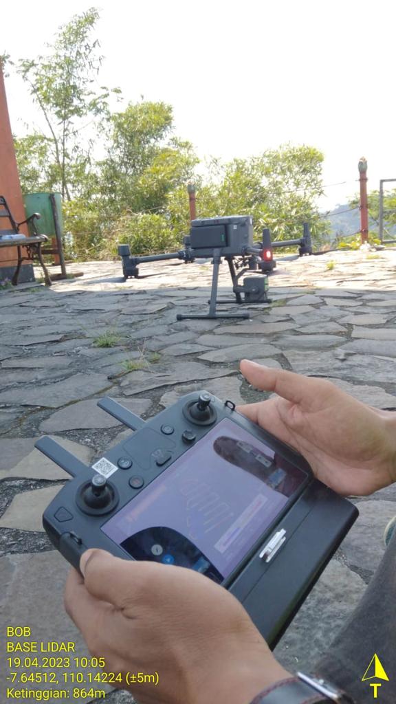
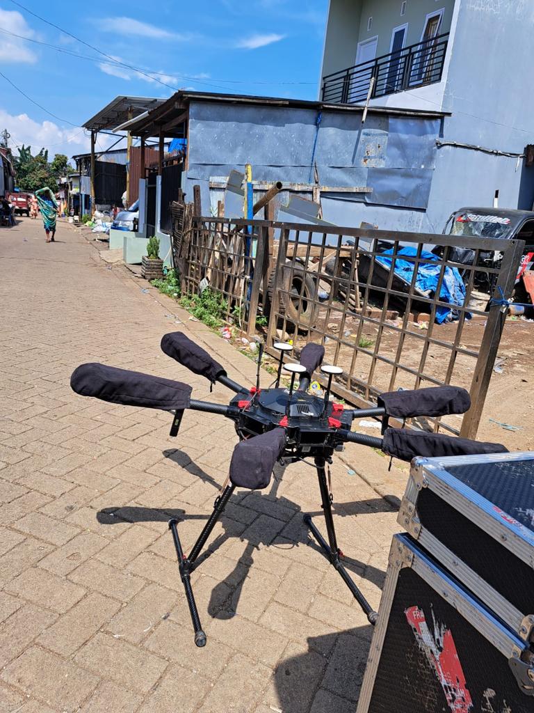
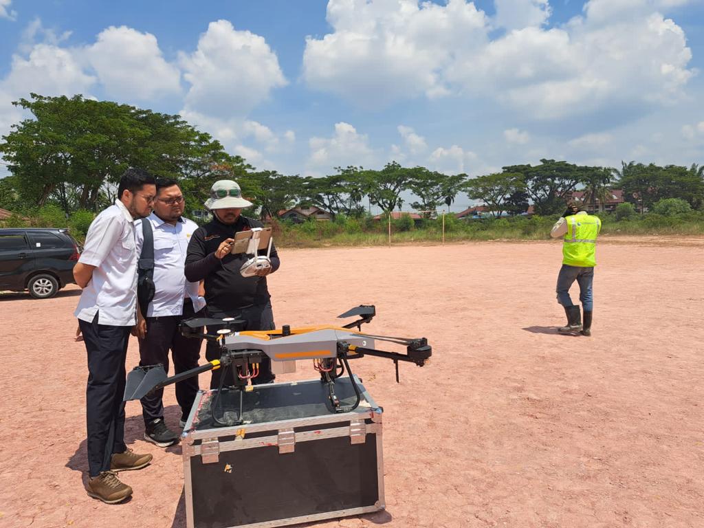
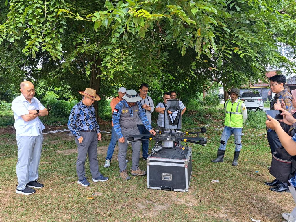
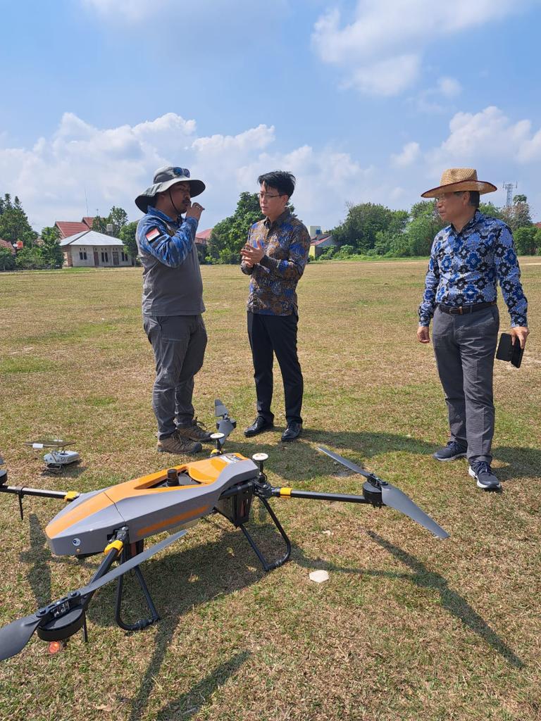
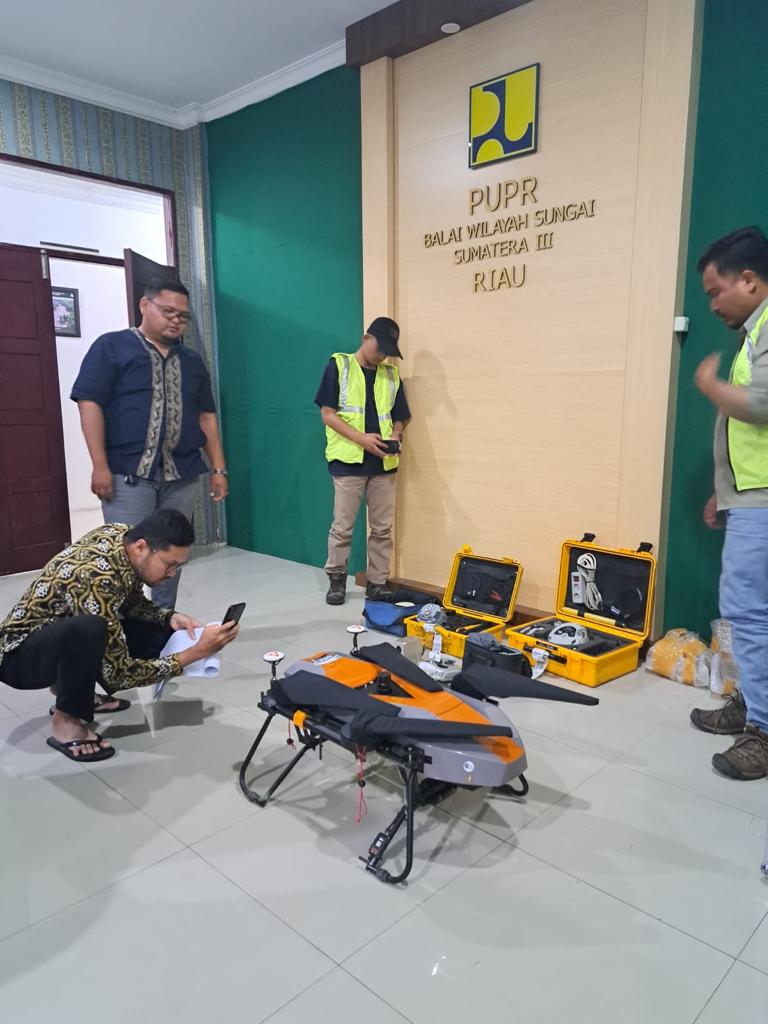
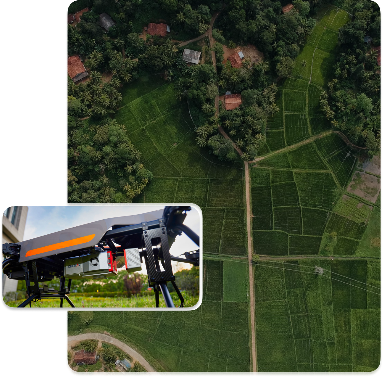
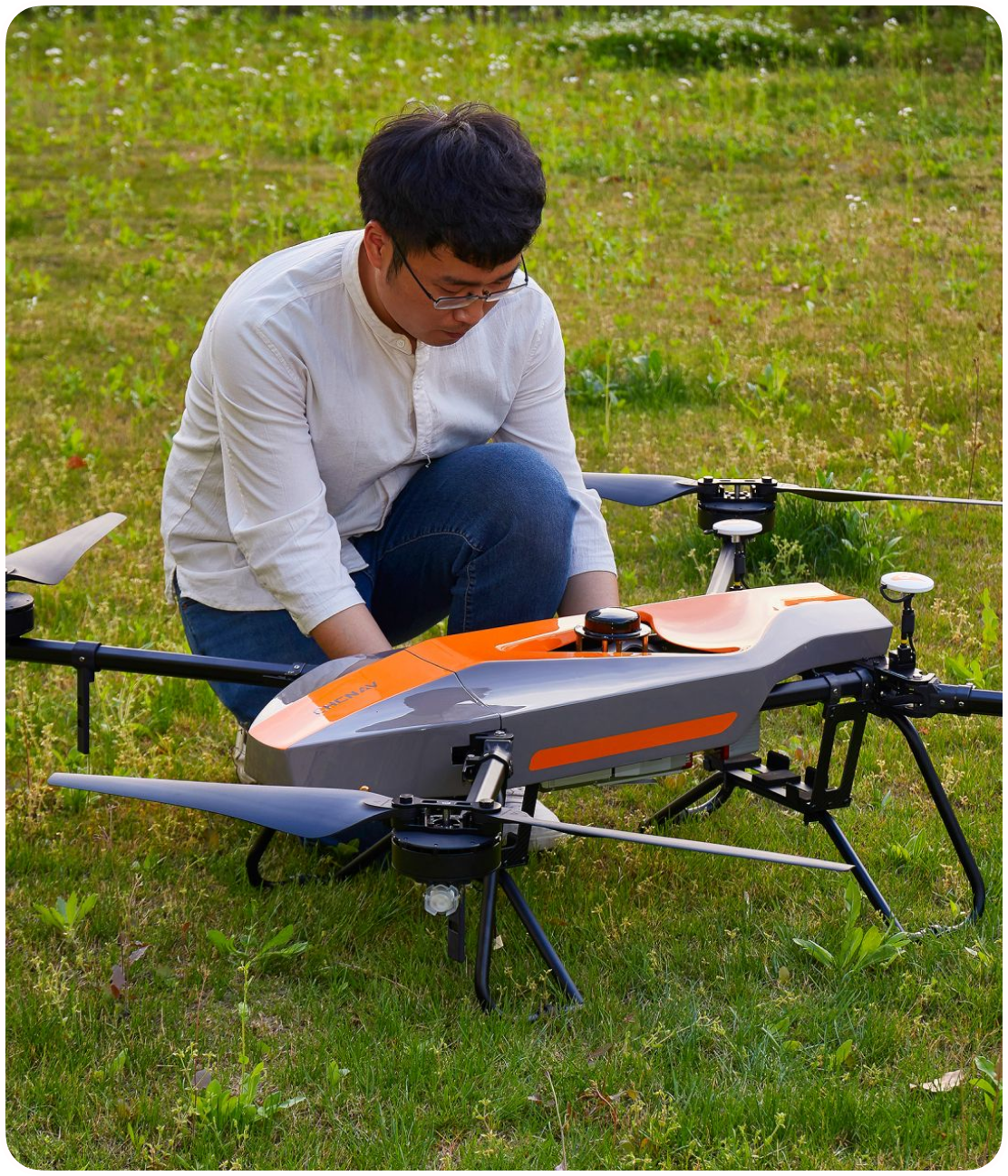
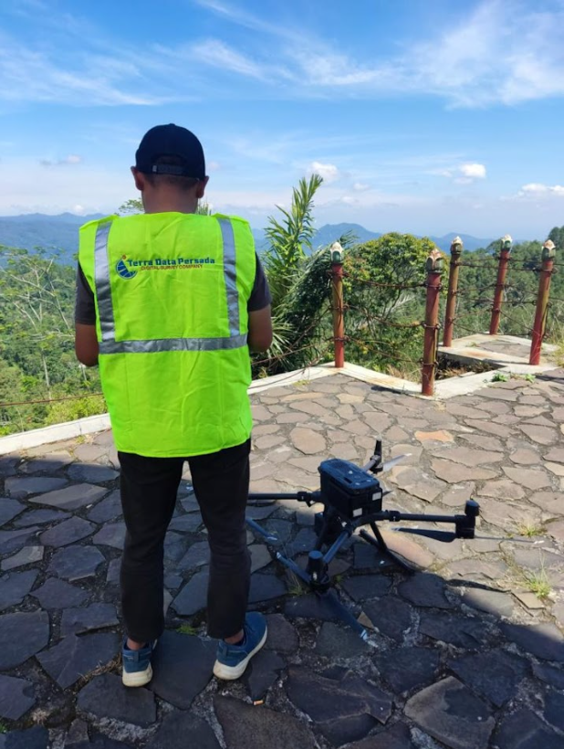
LiDAR Drones are a powerful tool to support mapping works and the survey industry. Above-ground drone flight-sortie provides cost-efficient 3D land-mapping works, for photogrammetry or topographic survey, generating full-3D digital terrain models (DTM) on a remote or complex territory, with relative ease. Sinces the equipment’s first introduction to Indonesia in the 2000s, it has been developed making it more compact and lighter. LiDAR drones reduce the risks, difficulties, and dangers relating to manual surveying.

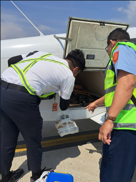
For extensive data collection in large distances, using a LiDAR drone is not appropriate, By using planes, large areas can be completed in just a few days. Airborne LiDAR combines laser distance measurement from the tool to the object and GNSS/IMU technology to obtain 3D coordinates with a high degree of accuracy.


Preserving structural details on various types of road construction and roadside structures, the mobile mapping data accurately represents its original condition (as constructed) and supports future operations of highway facility maintenance services, to ensure satisfactory transport-safety level at all times. We provide services for routine maintenance, periodic maintenance or emergency maintenance. To obtain accurate data from long-term assets such as road networks and facilities, the railway only runs one way. This is to facilitate planning, design and maintenance of modern infrastructure quickly, while still maximizing safety and effectiveness.

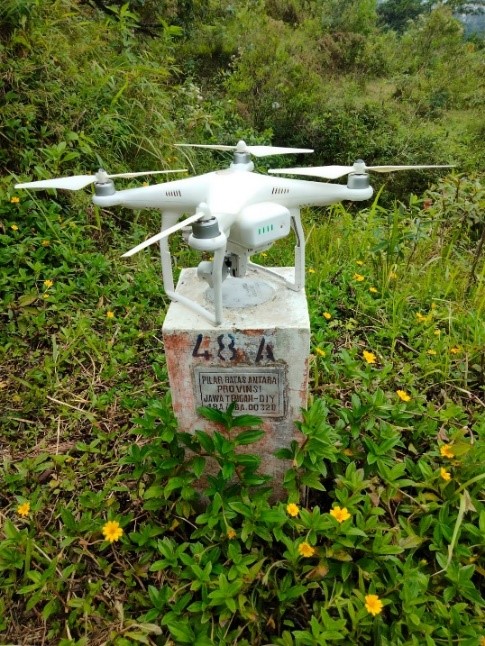
LiDAR surveys and photogrammetry surveys usually take place at the same time. The results of photogrammetric measurements and mapping are maps, images, or 3D models of objects on the Earth's surface.Photogrammetric surveys use cameras mounted on aircraft, with planning being carried out first. Several control points are created and adjusted to suit needs.
The area to be surveyed is divided into several flyways, the width of which is adjusted to suit needs. In 2023 PT Terra Data Persada conducted an aerial survey of potential locations for extra high-voltage electricity towers in South Sulawesi. The result is a photo map whose projection errors have been corrected. From the photo map, the latest picture of the situation on the prospective transmission line and its surroundings can be seen.


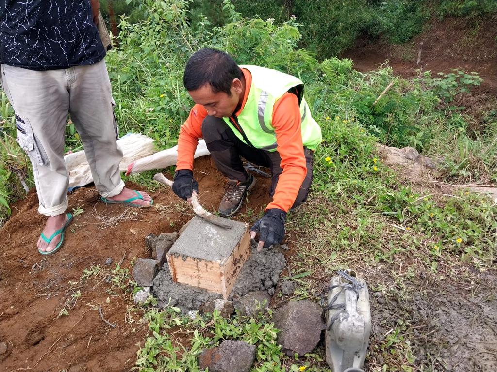
Engineers in the past carried out surveys for engineering purposes by measuring directly on the earth, usually called terrestrial surveys. To this day, terrestrial surveys remain one of the methods that surveyors rely on to get a detailed picture of the Earth's surface.
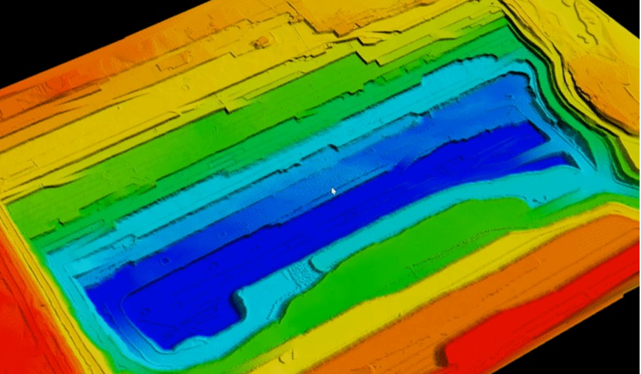

Mining Operational Planning ties data from mining operations directly to financial forecasts and business strategies. From the pit floor to the boardroom, operational planning users can run scenarios, compare variances, and collaborate on strategies across the whole business. From equipment performance to reagent consumption, Mining Operational Planning helps mining companies manage their business and make decisions from the ground up.







Our Works
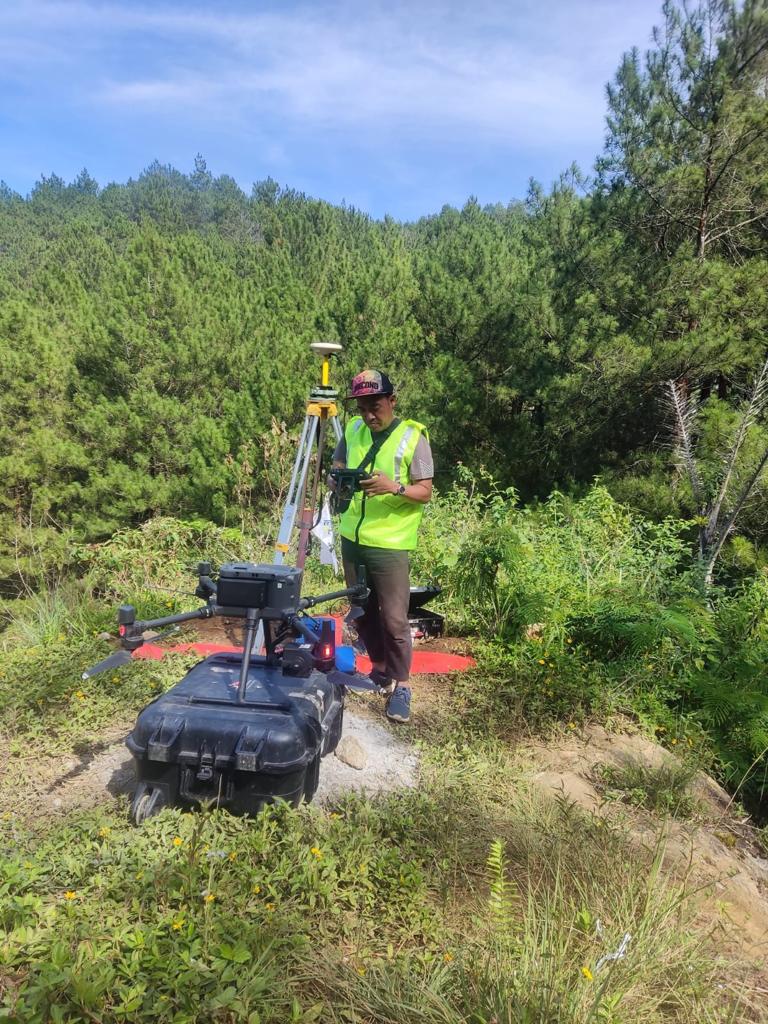
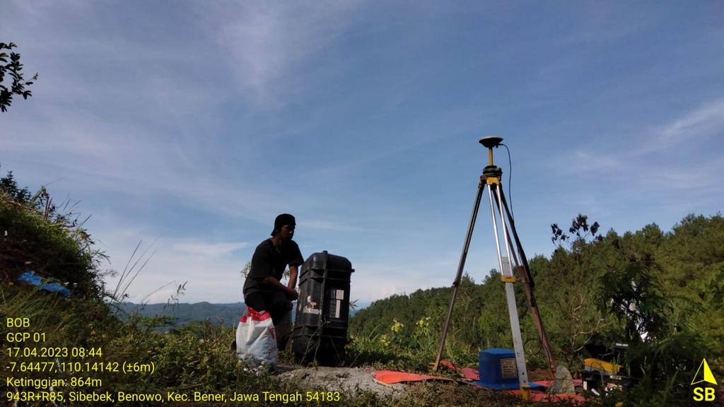
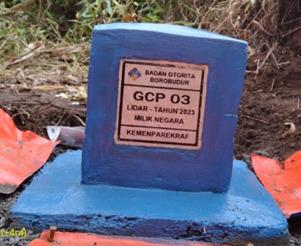
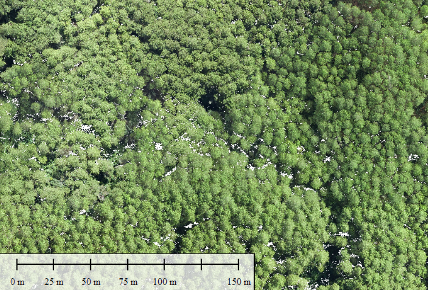
In 2023, PT Terra Data mapped areas in Sedayu Village, Loano District, and Benowo Village, Bener District, Purworejo Regency, Central Java Province. These areas are set to be converted into a tourist area.Careful maps are needed to facilitate planning so for smooth water flows, calculation of road filling and dredging, and successful zoning of tourist areas. The area that will be converted into a tourist area is located in a production forest. We were also tasked with estimating the volume of standing timber in the area.
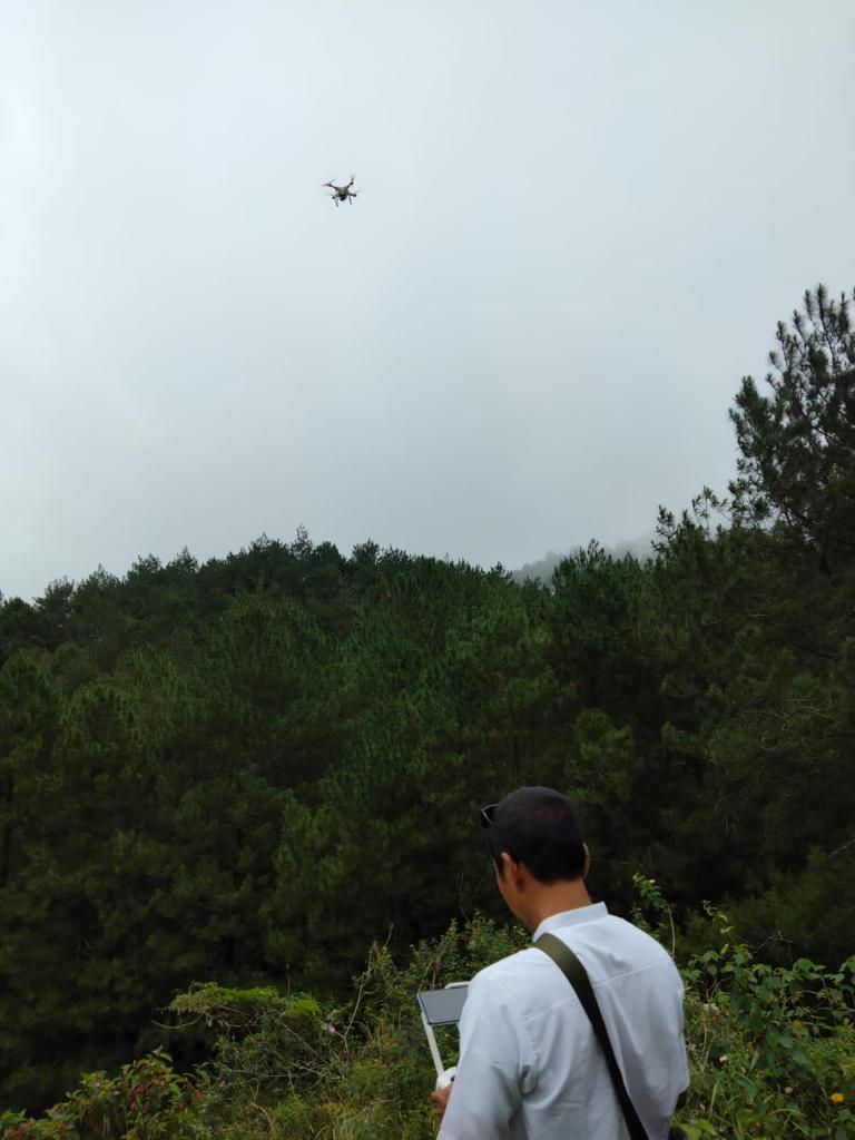
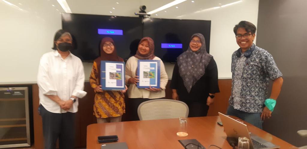
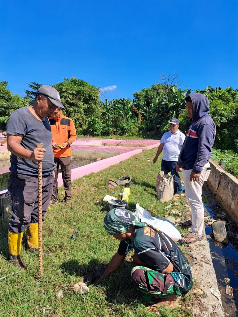
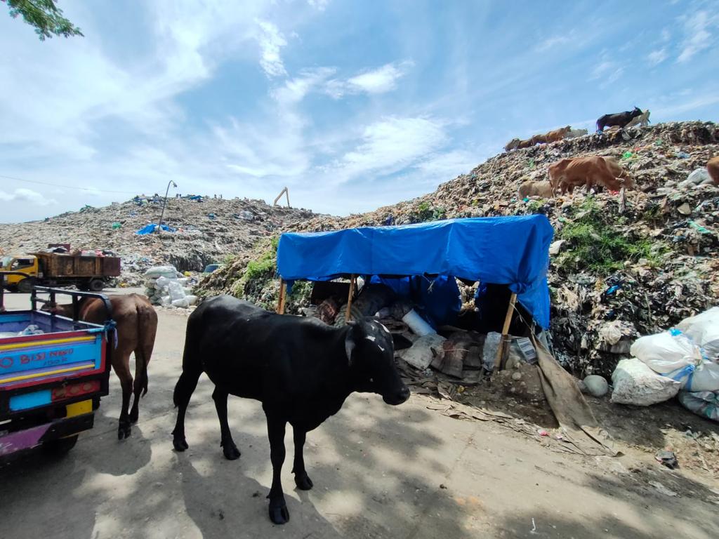
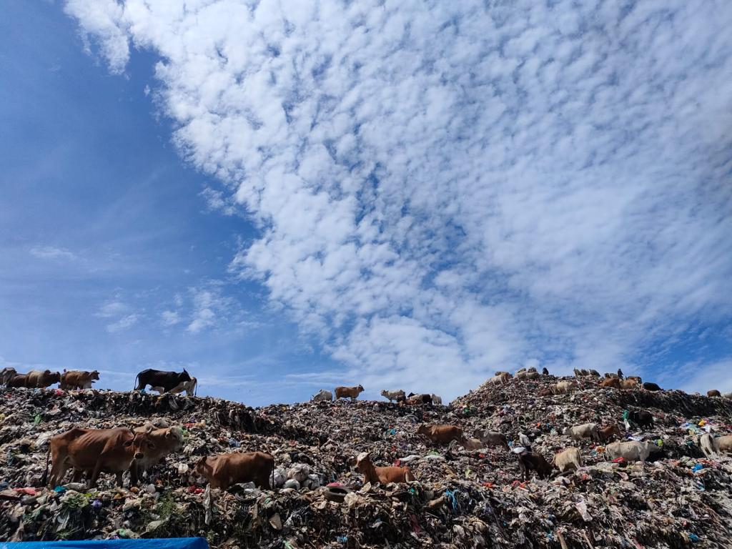
In 2023, PT Terra Data Persada received work from an agency funded by USAID. Under the direction of USAID, efforts will be made in society to cultivate the 3R behaviour: reuse, reduce and recycle. In addition, efforts will be made to manage solid waste inclusively and sustainably in selected cities. Three cities in Indonesia were chosen namely Semarang, Makassar and Ambon. The location was determined based on criteria set by USAID and adjusted to the central government's priority programs.
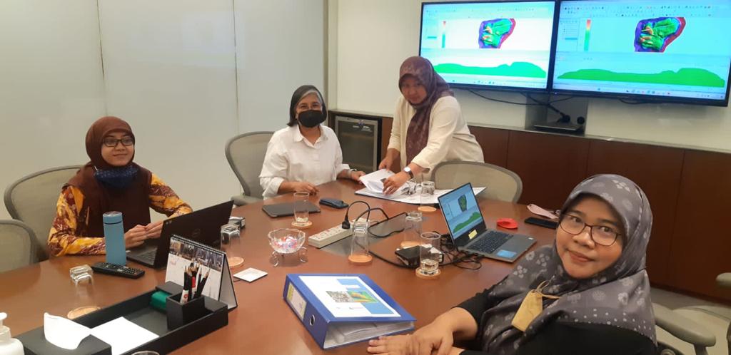
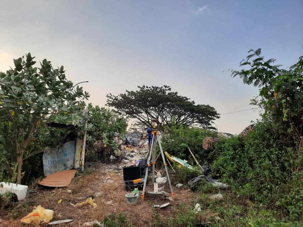
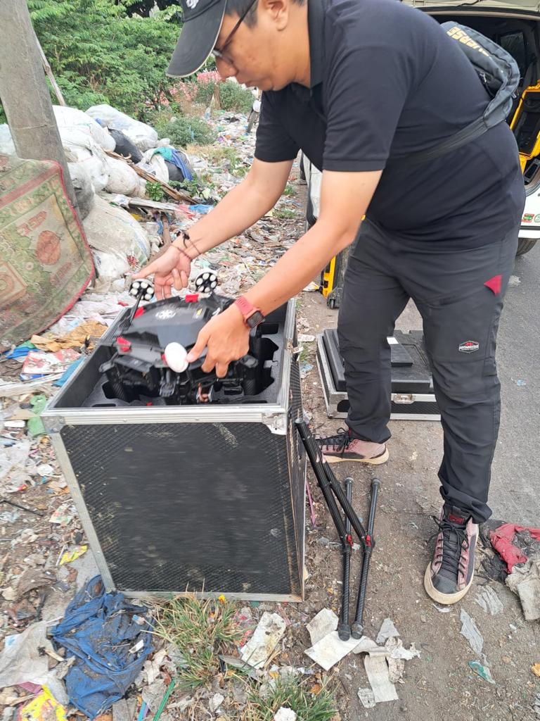
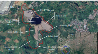
It is hoped that this activity can improve waste management and effective recycling systems, thereby increasing landfill capacity, and security and reducing greenhouse gas emissions. For this activity to be carried out, an accurate and up-to-date topographic map of the final waste disposal site (TPA) is needed. To achieve this goal, PT Terra Data Persada used laser technology (LiDAR), aerial photography, drones and surveys using GNSS technology. Through the combination of this technology, detailed 3-dimensional height model data, and 3D models of the surrounding area, including buildings and vegetation, can be obtained quickly.This technology can create contour maps with an interval of 0.5 meters, aerial photos with a level of detail of 5 cm, as well as GIS-based topographic maps.
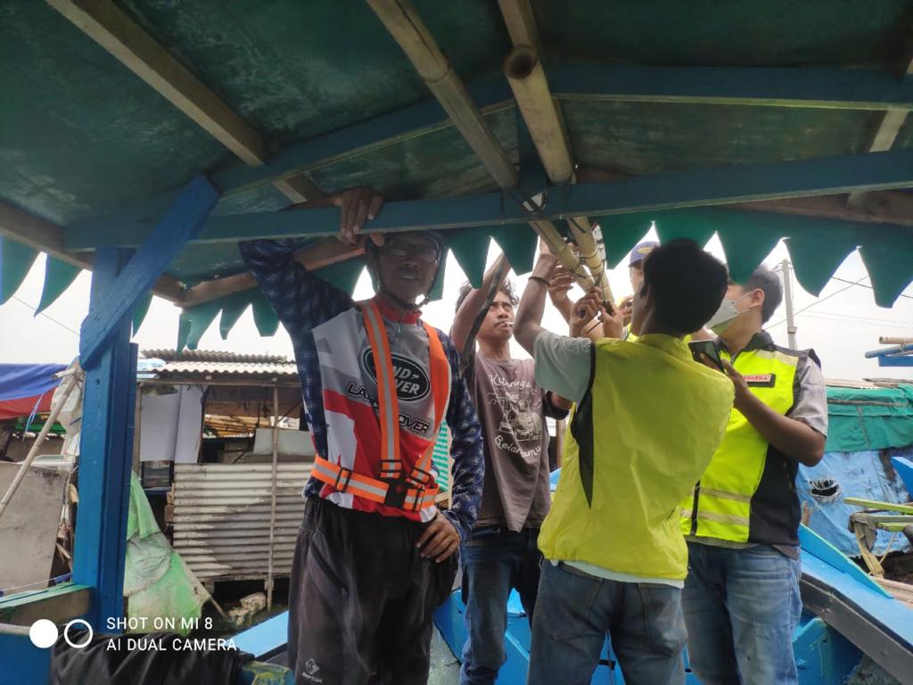
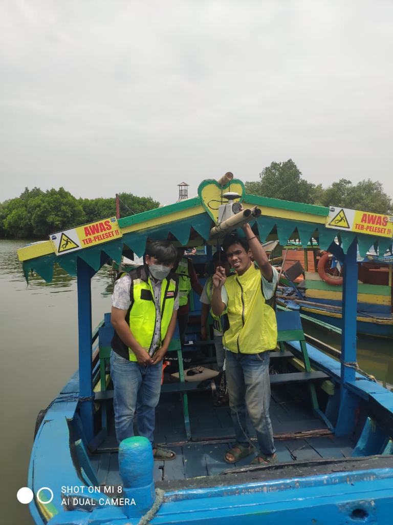
Flooding is a large issue for the city of Pekanbaru. At the beginning of 2024, Pekanbaru was hit by floods, which not only caused physical damage but also had an impact on the economy and health. The duration of the flood varies, between 10 hours – 14 days. The biggest floods occurred between 1984-1985, with water levels on the banks of the Siak River reaching 4.4 meters. The Siak River has a strategic role for the city of Pekanbaru. In the past, the Siak River was a mainstay of transportation. Unfortunately, the rapid sedimentation currently makes the riverbed shallow. In many places, both sides of the river are occupied by residential areas, causing the width of the river to decrease. To reorganize the Siak River to increase its capability in dealing with floods, thorough, accurate and up-to-date information is needed regarding its contour and land use. PT Terra Data Persada was asked for help by the consultant tasked with designing flood control for the city of Pekanbaru, to create an up-to-date picture of the left-right topography of the Siak River. For this reason, PT Terra Data Persada deployed drones to carry out LiDAR and photo acquisition.

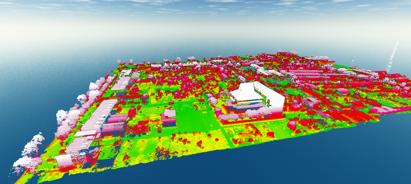
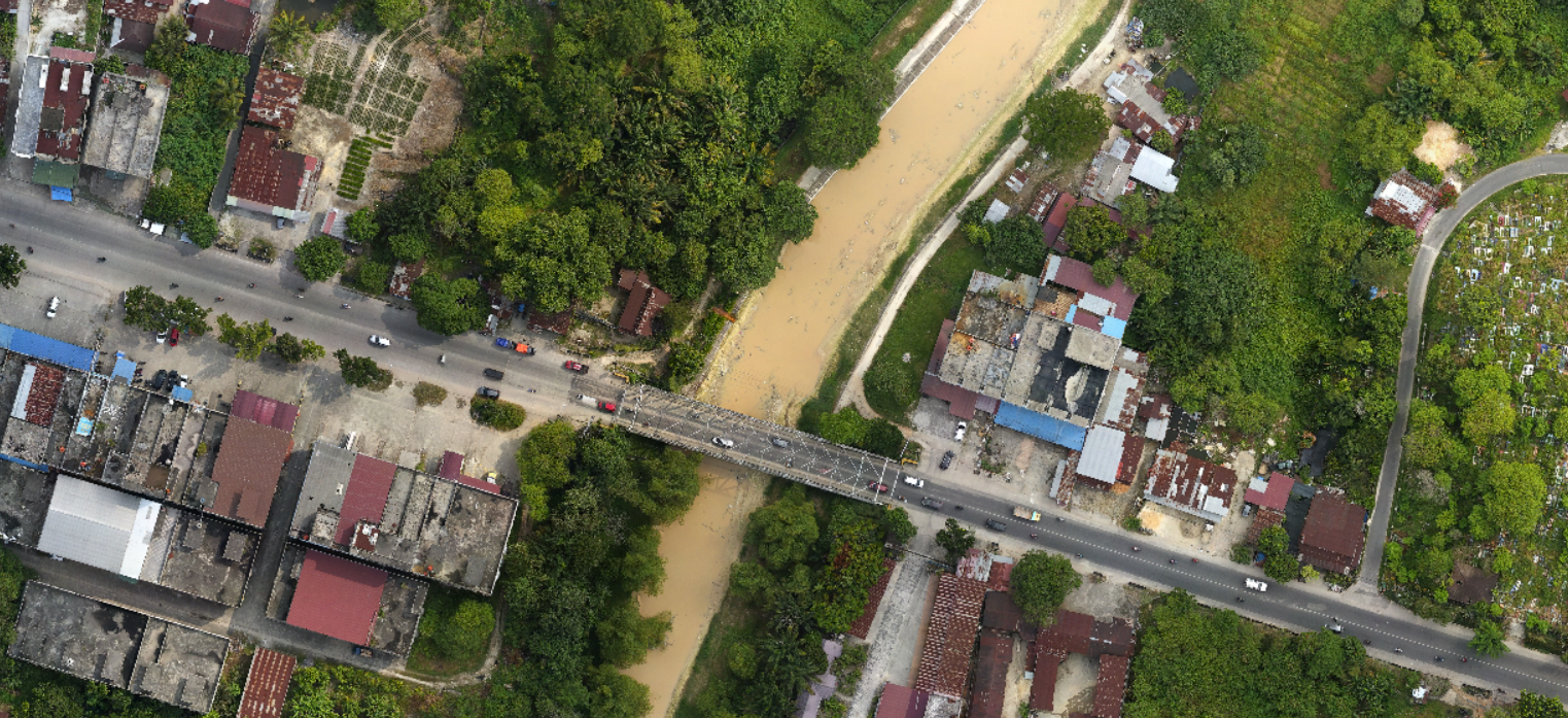
LiDAR surveys and photogrammetry surveys usually take place at the same time. The results of photogrammetric measurements and mapping are maps, images, or 3D models of objects on the Earth's surface.
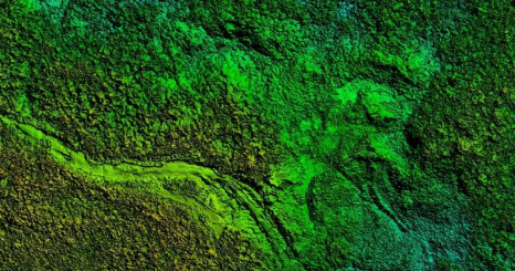
For large areas covering tens of thousands of hectares, or surveys extending in the form of corridors for hundreds of kilometres, the application of LiDAR technology for surveys is currently not recommended. One cause is battery limitations, as the battery will run out within 15-25 minutes. So if the area being surveyed is quite large, UAV LiDAR is not efficient. In 2023 PT Terra Data Persada received a contract to conduct a LiDAR and photogrammetric survey of the area where extra-high voltage electricity towers will be erected, in South Sulawesi. Considering the length of the corridor, as well as the complexity of the land that will be traversed, Airborne LiDAR technology was used. Using Airborne LiDAR technology, we can sweep the corridor for more than 350 kilometres in five days. Clients receive not only contour maps and digital surface models but also photo maps.

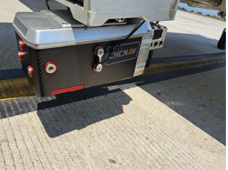
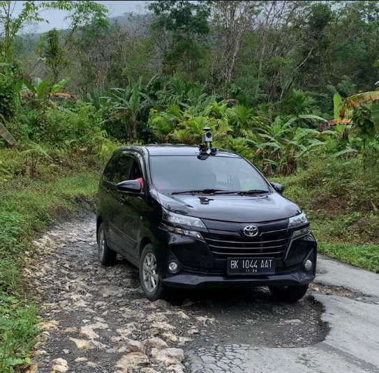
For knowledge of long-term assets, such as roads, railways, and transmission lines, a mobile mapping survey is the answer. PT Terra Data Persada has been operating Imajing brand mobile survey equipment for the past two years. This tool is installed in cars passing along the corridor to be surveyed. From this survey, road conditions, road geometry, data on the condition of damaged roads, the condition of road shoulders, road signs, channels and complementary buildings will be known. This tool allows for obtaining road damage data quickly, accurately, integrated and documented. From the various data obtained, it will be easy to obtain the amount of the budget for road maintenance. Imajing Mobile Mapping technology is the answer for those needing a method for monitoring an asset over time, regularly. Imajing Mobile Mapping will quickly collect georeferenced assets.
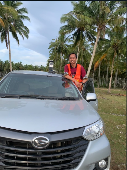

The Land Zoning Value (LVT) issued by the Ministry of ATR/BPN is a polygon that describes the relatively equal land value of a group of land within it, whose boundaries can be imaginary or real according to land use. The difference in value between one land and another is based on the officer's analysis using the market price and cost comparison method. The information displayed by LZV is the value of land in a "vacant" state, excluding the value of objects attached to it. TERRA DATA PERSADA participated in carrying out the Land Zoning Value survey in several districts in South Kalimantan Province in December 2020.
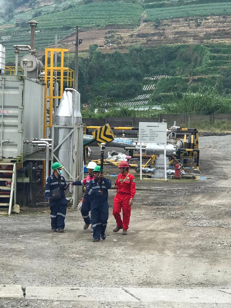
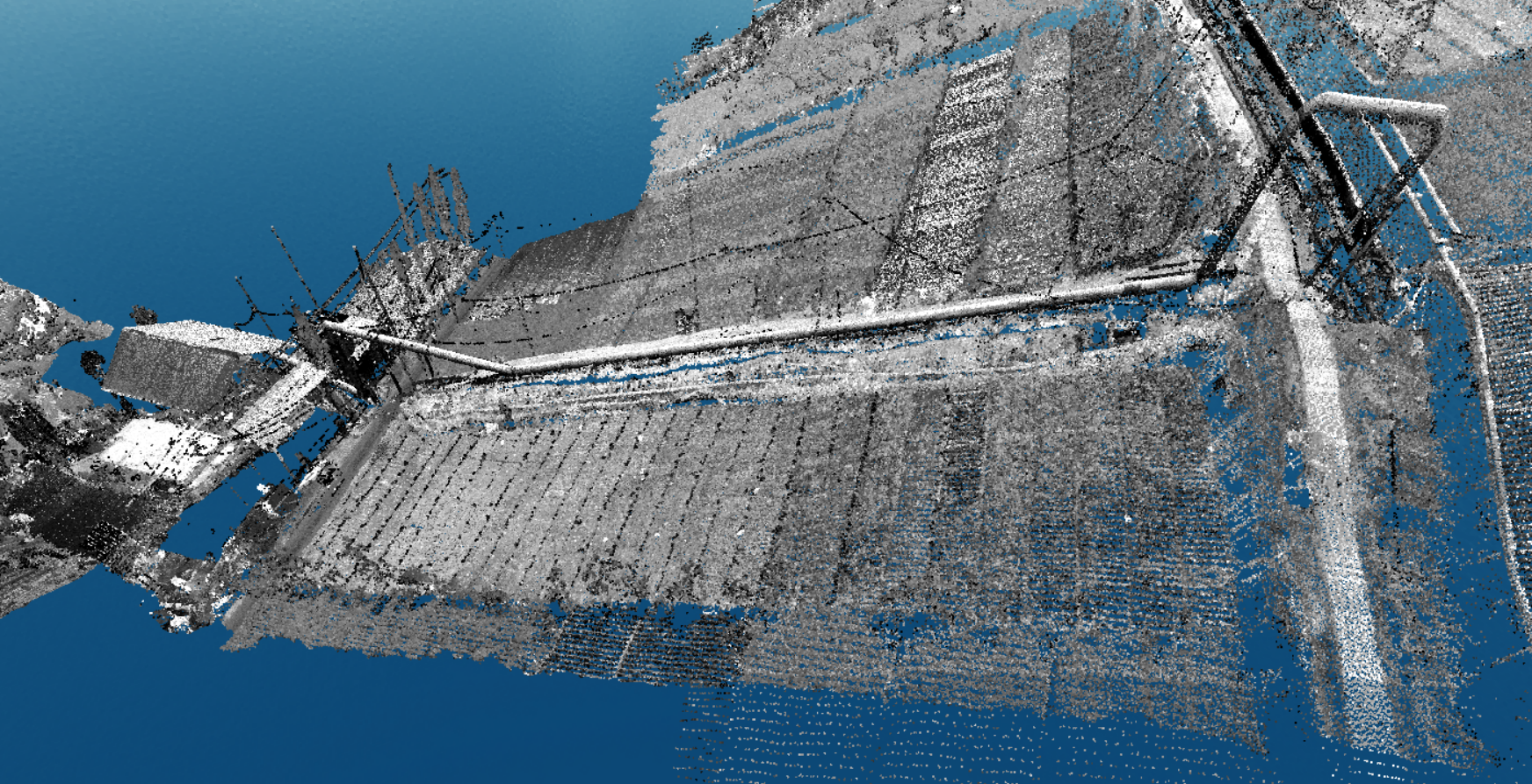
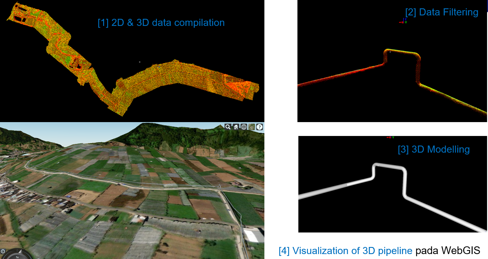
Surveys in areas with high levels of danger, both due to technical factors and social factors, will be easier to carry out using UAV LiDAR. PT Terra Data Persada had the opportunity to conduct a study survey in the danger location area for geothermal steam pipes in the Central Java area. The mapping survey was carried out by combining UAV LiDAR, aerial camera, and mobile mapping Imajing to obtain a steam piping information system. The final results of the work, apart from topographic maps and piping information management, are also 3D piping models.
Documentation